File:TINT Radioactive wastes' barrel.jpg
Size of this preview: 450 × 600 pixels. Other resolutions: 180 × 240 pixels | 360 × 480 pixels | 576 × 768 pixels | 768 × 1,024 pixels | 1,536 × 2,048 pixels.
Original file (1,536 × 2,048 pixels, file size: 563 KB, MIME type: image/jpeg)
Captions
Captions
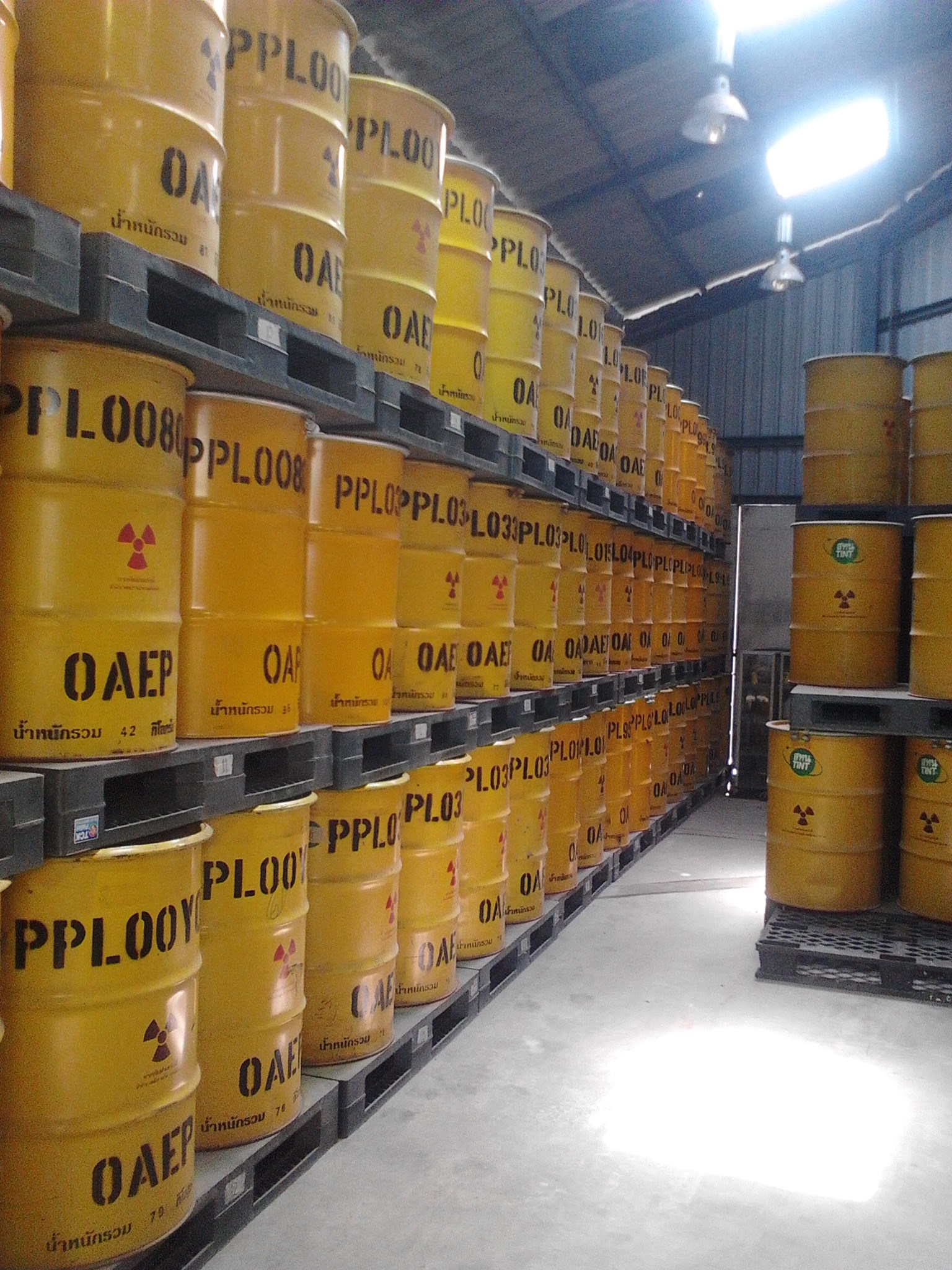
Barrels of radioactive waste
Summary
edit
| Description |
English: Barrels of the wastes |
| Date | |
| Source | Own work |
| Author | ShinRyu Forgers |
| Camera location | | View this and other nearby images on: OpenStreetMap |
|---|
Licensing
edit
I, the copyright holder of this work, hereby publish it under the following license:
This file is licensed under the Creative Commons Attribution-Share Alike 4.0 International license.
- You are free:
- to share – to copy, distribute and transmit the work
- to remix – to adapt the work
- Under the following conditions:
- attribution – You must give appropriate credit, provide a link to the license, and indicate if changes were made. You may do so in any reasonable manner, but not in any way that suggests the licensor endorses you or your use.
- share alike – If you remix, transform, or build upon the material, you must distribute your contributions under the same or compatible license as the original.
File history
Click on a date/time to view the file as it appeared at that time.
| Date/Time | Thumbnail | Dimensions | User | Comment | |
|---|---|---|---|---|---|
| current | 12:26, 16 November 2014 | | 1,536 × 2,048 (563 KB) | ShinRyu Forgers (talk | contribs) | User created page with UploadWizard |
You cannot overwrite this file.
File usage on Commons
The following page uses this file:
File usage on other wikis
The following other wikis use this file:
- Usage on da.wikipedia.org
- Usage on de.wikipedia.org
- Usage on en.wikipedia.org
- Usage on es.wikipedia.org
- Usage on gl.wikipedia.org
- Usage on it.wikipedia.org
- Usage on it.wikiquote.org
- Usage on ja.wikipedia.org
- Usage on ko.wikipedia.org
- Usage on min.wikipedia.org
- Usage on ml.wikipedia.org
- Usage on ro.wikipedia.org
- Usage on sq.wikipedia.org
- Usage on vi.wikipedia.org
- Usage on www.wikidata.org
- Usage on zh-yue.wikipedia.org
- Usage on zh.wikipedia.org