File:Elektrownia Kozienice - panoramio.jpg

Size of this preview: 800 × 533 pixels. Other resolutions: 320 × 213 pixels | 640 × 427 pixels | 1,024 × 683 pixels | 1,200 × 800 pixels.
Original file (1,200 × 800 pixels, file size: 260 KB, MIME type: image/jpeg)
Captions
Captions
Add a one-line explanation of what this file represents
Summary
edit
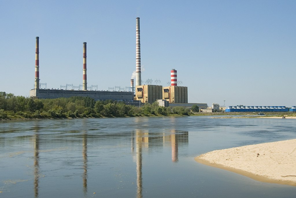
| Description | Elektrownia Kozienice | ||
| Date | |||
| Source | https://web.archive.org/web/20161025191541/http://www.panoramio.com/photo/77416650 | ||
| Author | Unfortunately Named | ||
| Permission (Reusing this file) |
This file is licensed under the Creative Commons Attribution 3.0 Unported license. Attribution: Unfortunately Named
|
||
| Tags (from Panoramio photo page) | Gmina Maciejowice, elektrownia, energetyka, industry, kozienice, maciejowice, power plant, power station, przemysł |
| Camera location | | View this and other nearby images on: OpenStreetMap |
|---|
File history
Click on a date/time to view the file as it appeared at that time.
| Date/Time | Thumbnail | Dimensions | User | Comment | |
|---|---|---|---|---|---|
| current | 18:46, 17 January 2017 | | 1,200 × 800 (260 KB) | Panoramio upload bot (talk | contribs) | == {{int:filedesc}} == {{Information |description=Elektrownia Kozienice |date={{Taken on|2012-08-19}} |source=http://www.panoramio.com/photo/77416650 |author=[http://www.panoramio.com/user/5679626?with_photo_id=77416650 Unfortunately Named] |permission... |
You cannot overwrite this file.
File usage on Commons
The following page uses this file:
File usage on other wikis
The following other wikis use this file:
- Usage on cs.wikipedia.org
- Usage on en.wikipedia.org
- Usage on no.wikipedia.org
- Usage on pt.wikipedia.org
- Usage on ro.wikipedia.org
- Usage on sv.wikipedia.org
- Usage on www.wikidata.org